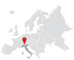
Samolaco (in dialect Samòlaĉ/Samòliĉ, and in Latin Summo Lacu) owes its name to its geographical location situated at the northern tip of Lake Como. In the past the village must have been built near the ruins of the church of San Giovanni all&´Archetto, where the remains of lime-burning kilns are still visible today.
The Via Francisca also passed from there, i. e. the continuation of the Via Regina. Through these paths you could reach Chiavenna, and carry on along the mountain passes, over the Alps.
Gian Giacomo Trivulzio (1499), the Marshal of France, reclaimed the area between Era and San Pietro, constructing waterways, farms and introducing horse rearing. The people lived by cultivating chestnuts, potatoes, vegetables and a few cereals, and by rearing cattle, sheep and goats, taking advantage during the hot season of the high and mid altitude pastures.
At the end of the nineteenth century a massive land reclamation took place and embankments were built for the Mera River, as well as drainage channels (called merette), roads and bridges.
The plain was therefore adequately exploited for agriculture, with fields of corn, wheat, and meadows for the production of hay.
An increase in cattle breeding was also recorded, as well as the spread of the Samolaco-Haflinger horse breed.
Many inhabitants of Samolaco found emigration to be a viable alternative to the poor local economy, choosing a different destination which varied from one period to another: central and southern Italy, European countries, the Americas and Australia.
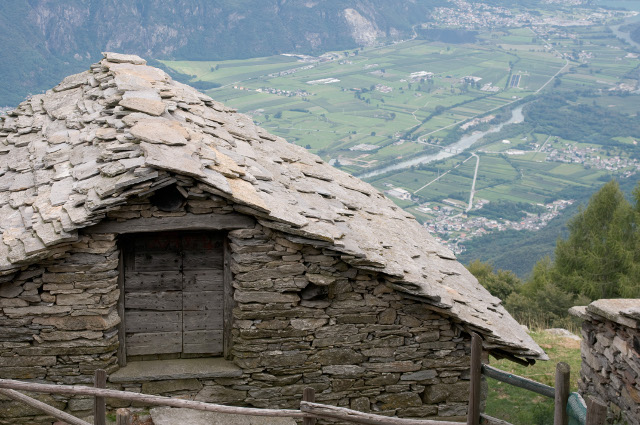
Today, walking along the historical paths you can find traces of the past preserved in the old buildings, in the ruins of San Giovanni all&´Archetto, in the church of San Andrea al Colle, in the tower of Culumbee, or in the Ca&´ Pipéta. If you take a short detour, you can reach Monastero, Stalla, Fontanedo, Ronco and Paiedo. In addition to those already mentioned, there are many more ancient hamlets to be explored: the old part of Era (Cueta), Casenda, Vigazzuolo, and the remains of abandoned farmhouses halfway up the hill (Cusciago, Piazza, Macolino and Piazza Bedogna).
VIA FRANCISCA
A historical path which is the continuation of the ancient Via Regina (from Como to Alto Lario, on the right bank) and reaches Chiavenna, remaining on the right side of the Valley. From the little temple at San Fedelino continue up along the course of the river Mera until you reach the large alluvial fan of the Meriggiana and Casenda streams that, with their flooding, signal the end of this ancient area. The path continues up to Vigazzuolo. After crossing the Casenda stream you reach the village of the same name and climb up the Moraine terraces. Continue towards Luoghi, Sassello, Schenone and Prona to reach the church of San Pietro, just beyond the medieval tower of Culumbee. From here, carry on along the lane leading down to the crossroads of Roverina and continue to the Cesura plain. Take the comfortable and wide path, past the bridge that crosses over the final course of the Boggia stream. Go past Gordona, continuing beyond Mese and concluding the path at the Postaiolo bridge, the entrance of the Spluga Valley.
Download trekking map
